Total Distance: 9.4 miles
Time: 4 hours 30 minutes
Points of Interest:
Abingdon Abbey
Church of St Nicolas
Abingdon Bridge
Burford Bridge
Abingdon Gaol
Abingdon County Hall Museum
Abingdon Lock
Barton fields
Nuneham Railway Bridge
Nuneham House
Carfax Conduit
Sandford Lock
The Kings Arms pub
The Sandford Lasher
Kennington Railway Bridge
Iffley Lock
Iffley Stone Bridge
Iffley Meadows
Donnington Road Bridge
Folly bridge
Head of the River pub
Today marked the third and final day of our walk to Oxford. Despite covering a marathon distance over the past two days and struggling with sleep last night (thanks to Cher insisting on sharing the bed when space was already tight), I surprisingly felt good and was eager for this last leg of the journey.
There was one worry though: my phone was only 80% charged. Despite trying various plug sockets, it refused to charge further. This was my sole method of payment, as I had left my wallet at home. My fear was arriving in Oxford and being stranded, unable to return to London. I hoped it was merely the charging cable, but if the issue was with the phone itself, I knew I would need to conserve its battery as much as possible. I turned the phone to airplane mode and made my way to the breakfast cabin, which was just next door to my room.
I was the first one there, no other guests, and just the one staff member who pointed out the breakfast options. Sadly, no fried breakfast today, but fresh eggs were available, cooked however you wanted them. I filled myself up on fruit and yogurt with a side of toast, then returned to my room.
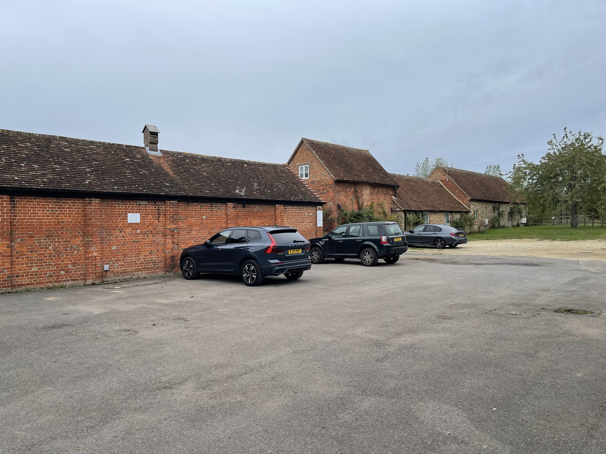
After a quick refresh and packing, we checked out and set off again. With time on our side, I decided to explore Abingdon. Despite the overcast sky and light drizzle, it was nothing to worry about. Our first stop was Abingdon Riverside Cafe for coffee and a stamp for my Walk the Thames passport.
Abingdon boasts a rich history, with evidence of occupation dating back to the early to middle Iron Age. A late Iron Age defensive enclosure even lies beneath the modern town centre. The powerful Abingdon Abbey was established here around the 7th century, recorded in the 1086 Domesday Book as a wealthy landowner.
However, the abbey’s long history ended abruptly on 9 February 1538, when Abbot Thomas Rowland voluntarily signed the Deed of Surrender during Henry VIII’s dissolution of the monasteries. While parts of the abbey were demolished and the remaining buildings later served as a prison and a brewery, several original structures endure. These include the Abbey Exchequer, the timber-framed Long Gallery, the abbey bakehouse, the abbey gateway, St John’s hospitium, and the Church of St Nicolas.
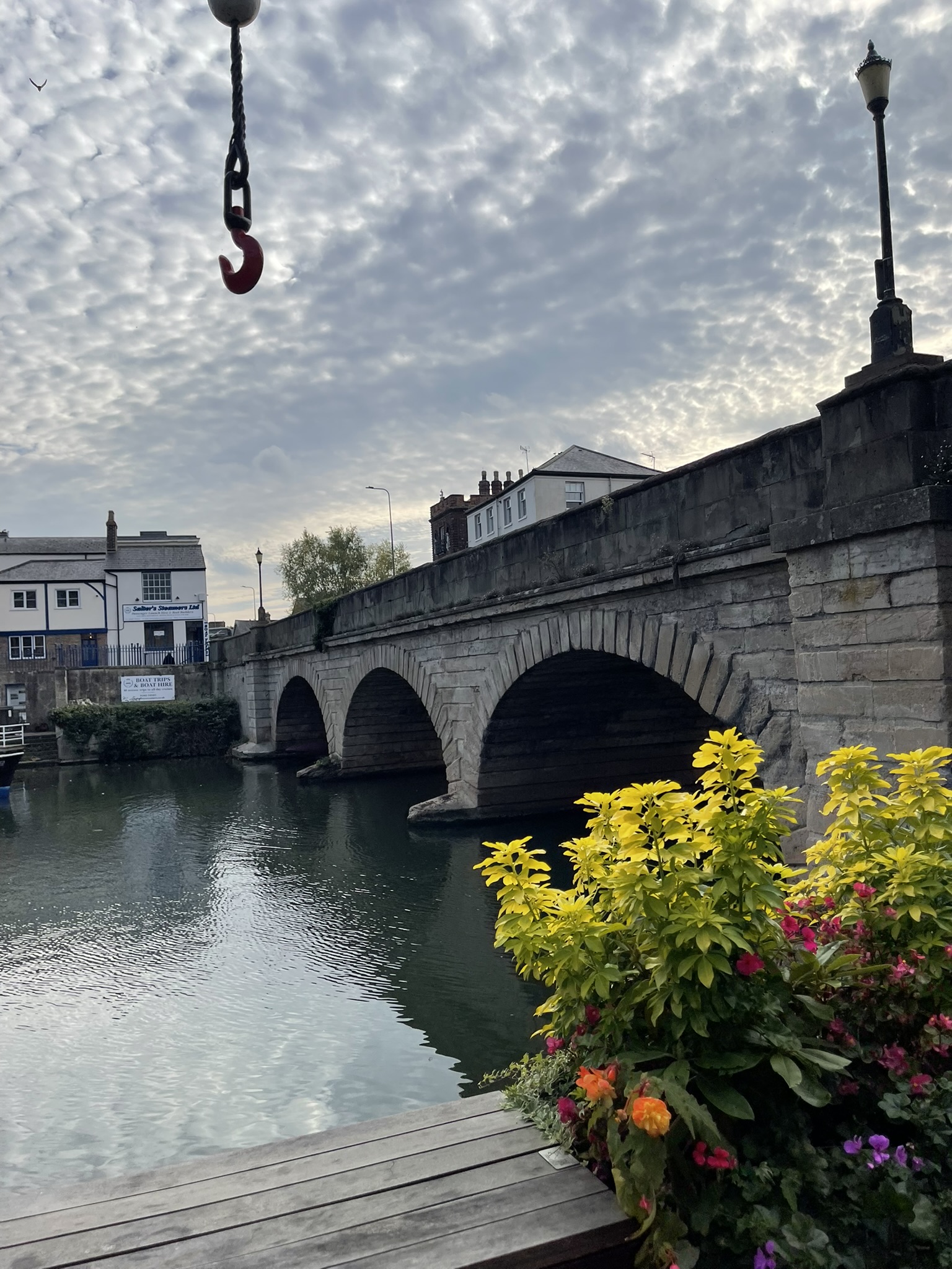
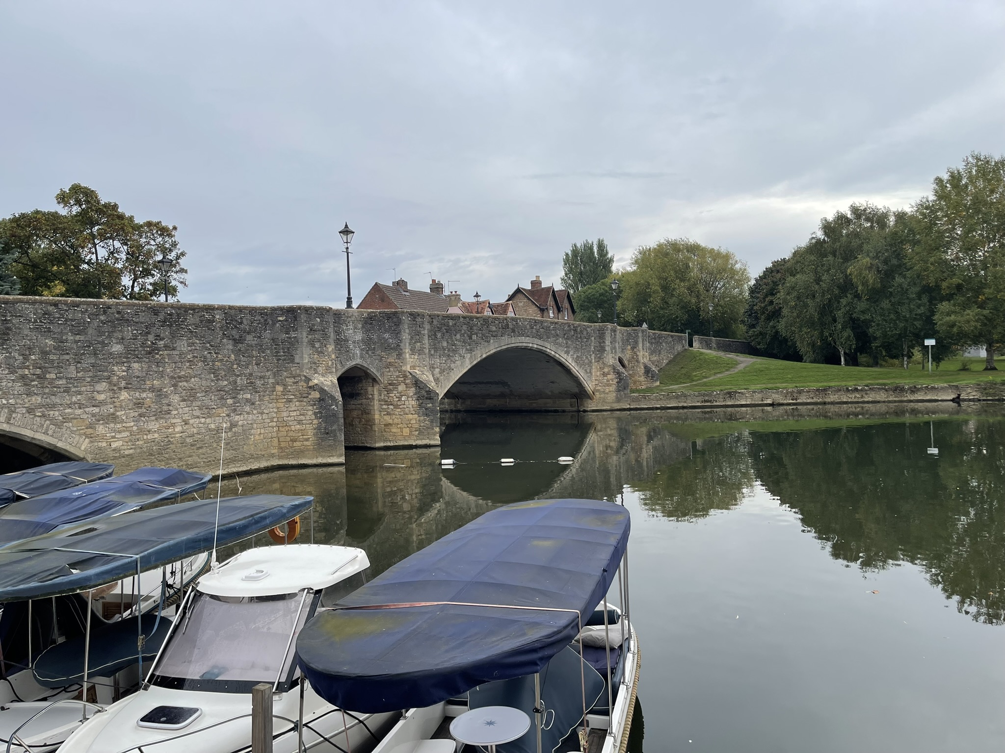
With coffee in hand, we crossed Abingdon Bridge, a structure first built in 1422. It has undergone several reconstructions, most recently in 1927, when three early 15th-century arches were demolished and replaced with a single wide span to improve navigation towards the lock. Nag’s Head Island is connected to the mainland by two bridges: Abingdon Bridge and Burford Bridge.
Walking towards the town centre, we passed Abingdon Gaol. The gaol was built in 1811 and the radial design was modern for its time, allowing the segregation of different classes of prisoners. By the 1860’s the gaol was deemed not fit for purpose, and it was closed in 1868. For many years it functioned as a grain store. Some of its subsidiary buildings had become slum dwellings and were demolished in the 1930s. During the 1970s, it was partially rebuilt as a leisure centre. It has now been converted to luxury apartments.
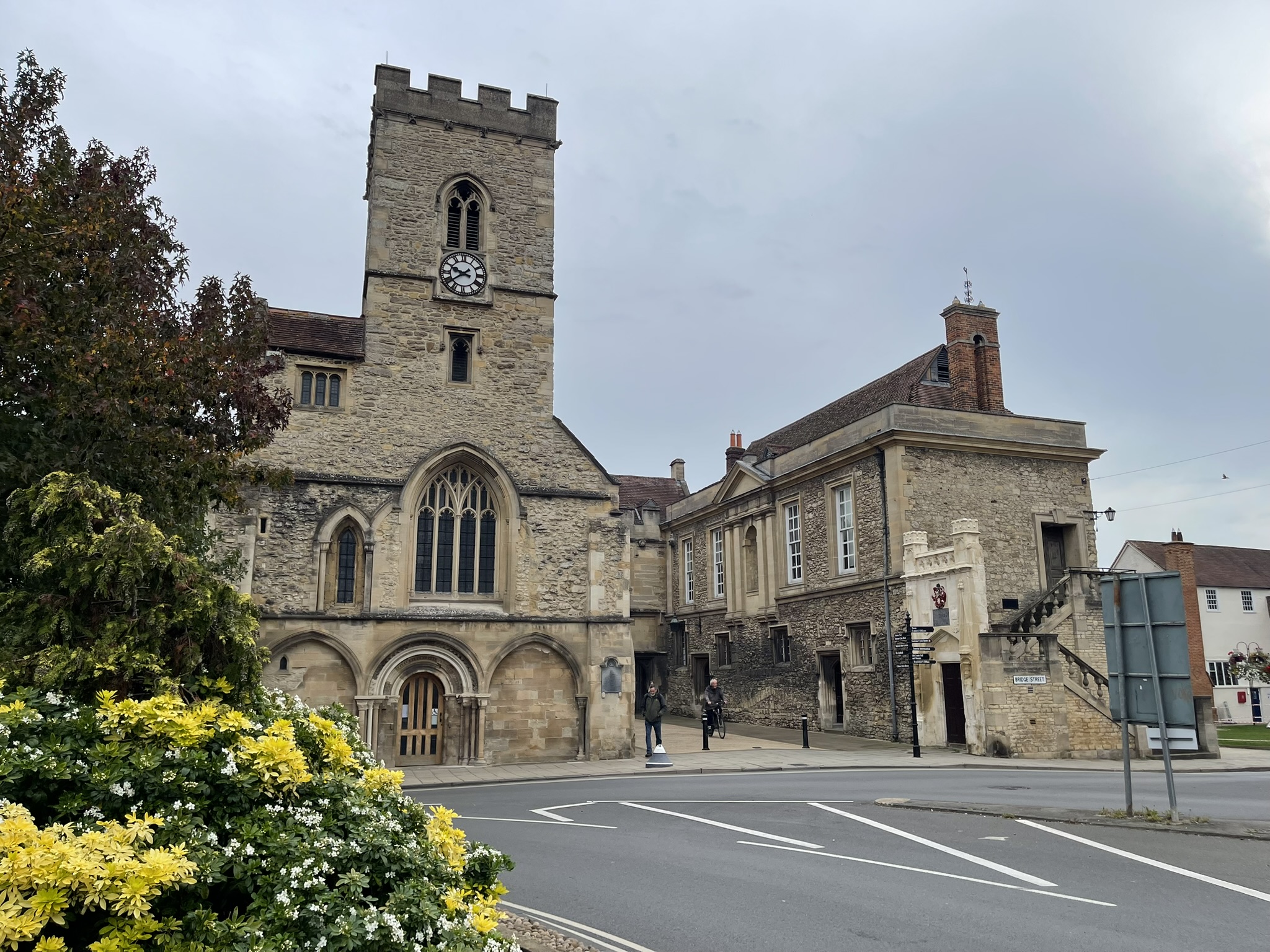
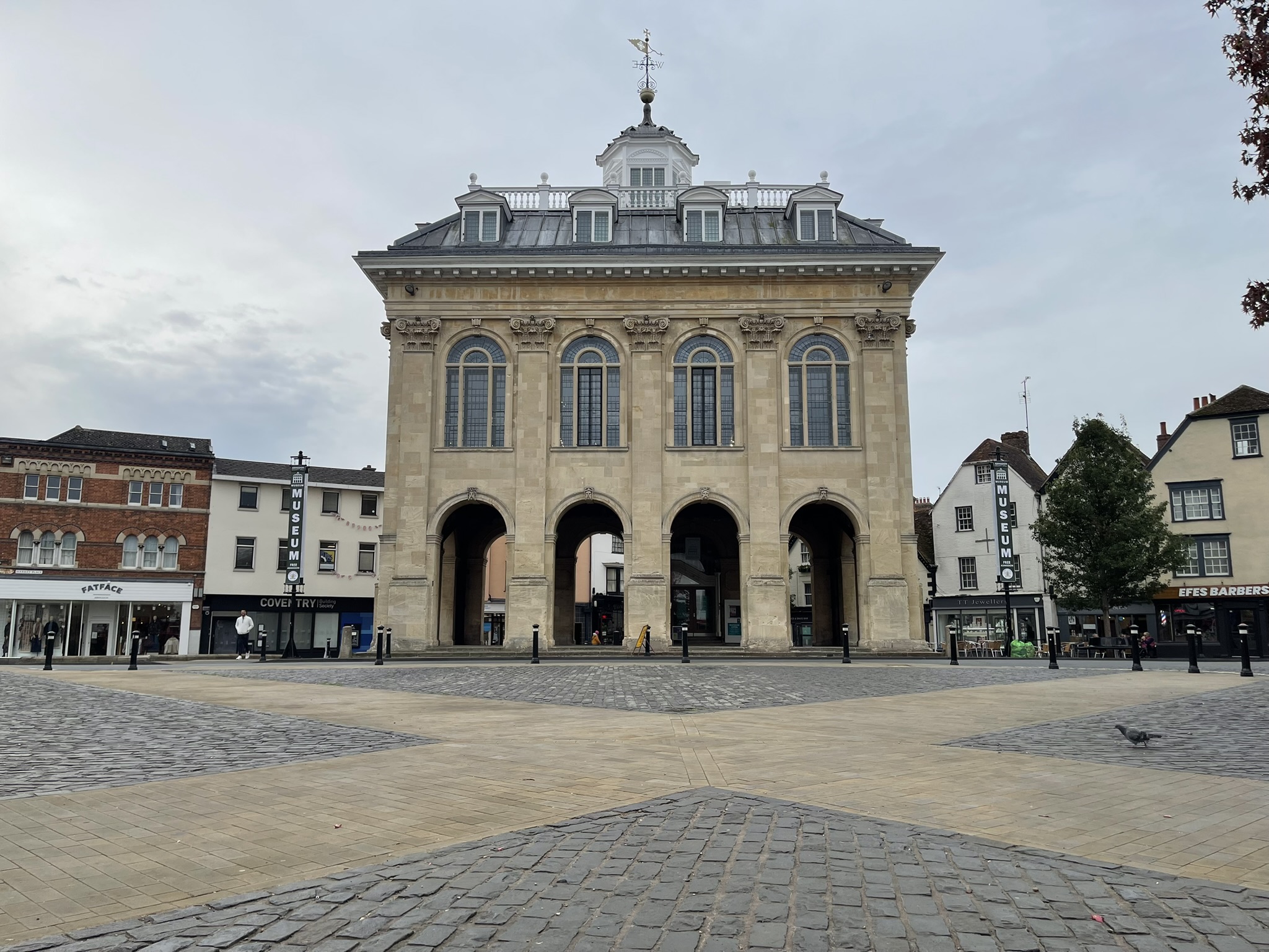
We sat in Market Place, at the heart of the town. The County Hall dominates the south side, a Baroque masterpiece completed in 1683. It was designed by Christopher Kempster, who honed his skills under Sir Christopher Wren at St Paul’s Cathedral. It is now home to the Abingdon County Hall Museum.
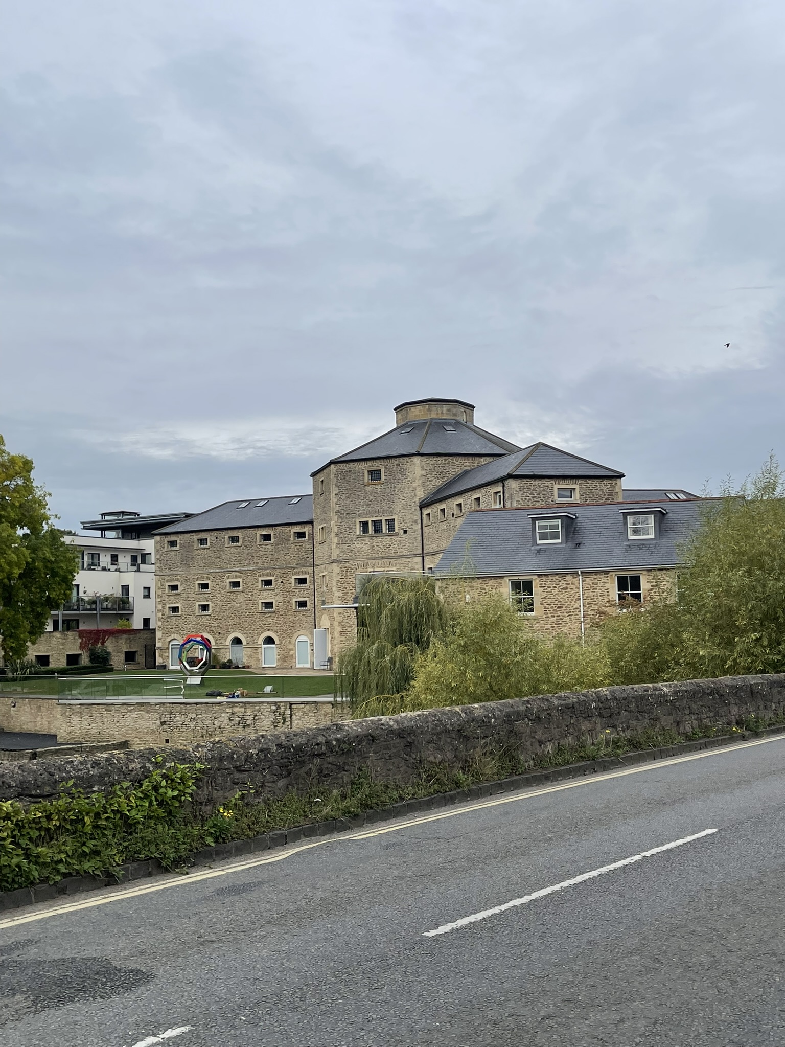
St Nicolas Church, located on the east side of Market Place, was constructed around 1170. This church served the abbey’s lay servants and tenants, while the monks utilized the abbey church. In the 15th century, a tower was added, and the chancel was rebuilt.
After a quick detour to purchase a new phone charger, hoping it would resolve the issue with my phone, we continued on our journey. We recrossed the bridge and returned to the path, heading towards Abingdon Lock. Along the way, I noticed signs indicating a detour around the lock. Fortunately, a passer-by confirmed the path was open, and the signs had simply not been removed yet. This was a great relief, as I wasn’t looking forward to another diversion!
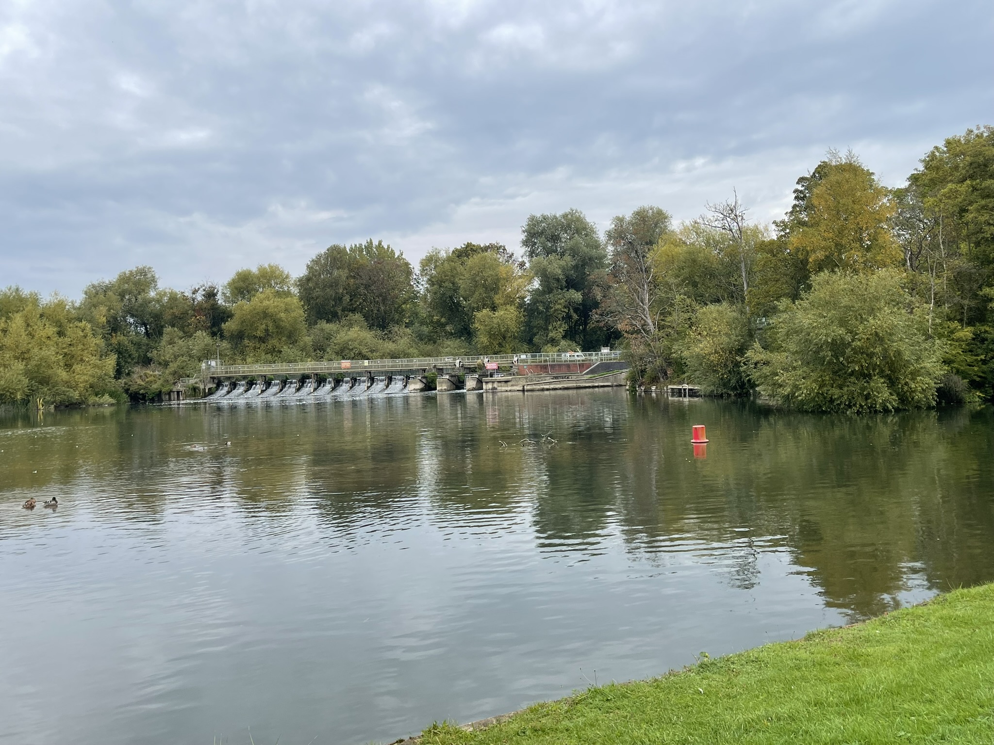
We approached the lock and passed over the weir into Barton fields. The lock was originally built in 1790. The original weir is reputed to have been built by the monks of Abingdon abbey during the 10th century.
After an earlier drizzle, we continued through the muddy Barton fields, where I put Cher in her carrier. We rested as we neared Nuneham Railway Bridge; I sat on a fallen tree while Cher curled up on the wet grass below. These had been long days for her, and she was undoubtedly tired, despite being carried for most of the journey! I felt much better today; the past two days of walking had warmed up my muscles, leaving me ready to continue.
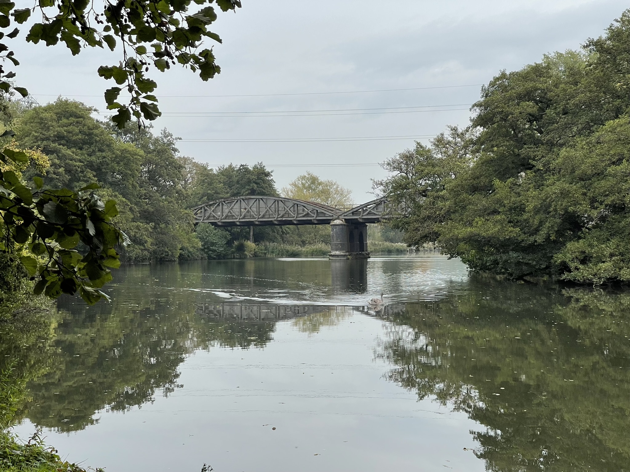
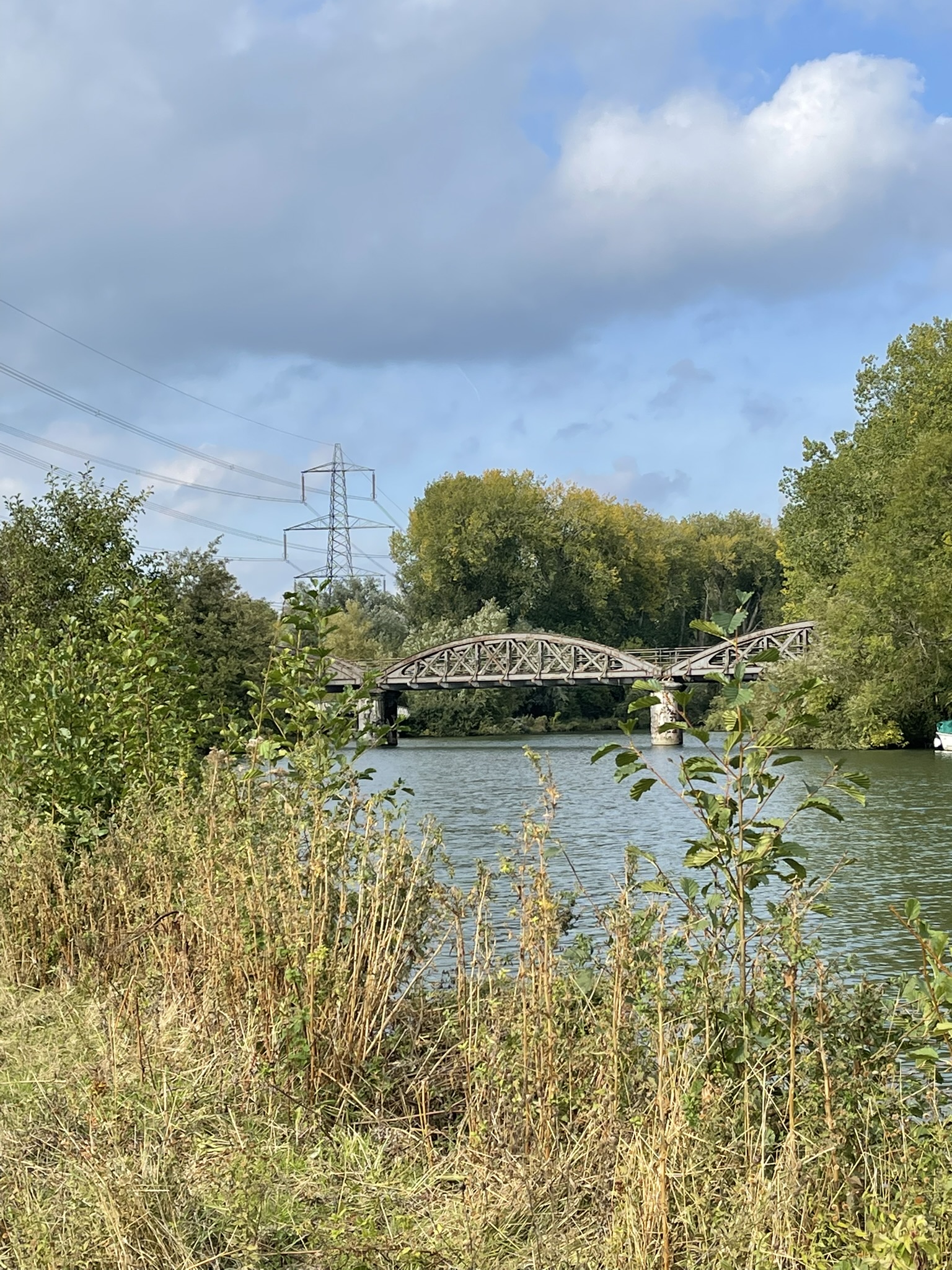
The bridge by the way is also known as the black bridge. The bridge serves the Cherwell Valley Line. The original bridge was opened in 1844, but soon proved to be inadequate, and so a replacement was built a decade later and opened in 1856. A third bridge was constructed between 1906 and 1907, consisting of a pair of steel bowstring spans with a single pier in the centre of the river.
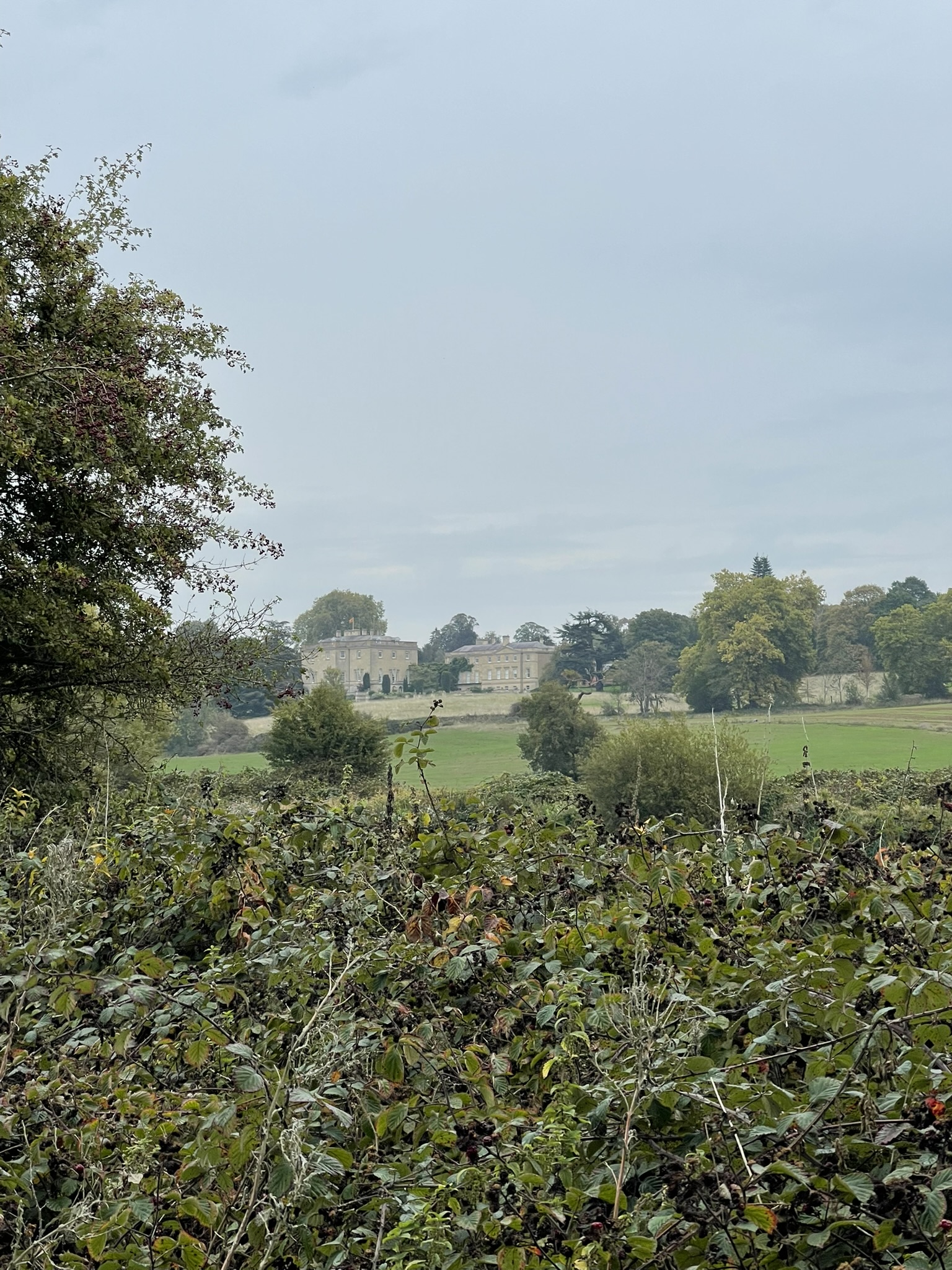
Cher was grateful to be put into her carrier, and we were on our way again. The sun was starting to break through now, and it was starting to get warmer. There wasn’t a soul around. As we approached Lower Radley, Nuneham House came into view on the opposite side of the river. The house was built in the Palladian style in 1756 for Simon Harcourt, 1st Earl Harcourt. The original village of Nuneham Courtenay was demolished in order to make a landscaped park around the new villa. During the Second World War, Nuneham House and its surrounding parkland was requisitioned by the Air Ministry and became RAF Nuneham Park.
The Carfax Conduit, a 12-meter-tall structure adorned with eight niches holding statues of historical and mythical figures, is located within the grounds of Nuneham House. Built in 1610 at Carfax, Oxford, by Yorkshire stone-carver John Clark and plumber Hugh Justyce of London, it supplied water to Oxford from 1610 to 1869. The conduit was fed by an underground lead pipe from a cistern on Hinksey Hill. After its removal from Oxford, the structure was given to Earl Harcourt, who had it re-erected on his Nuneham House estate.
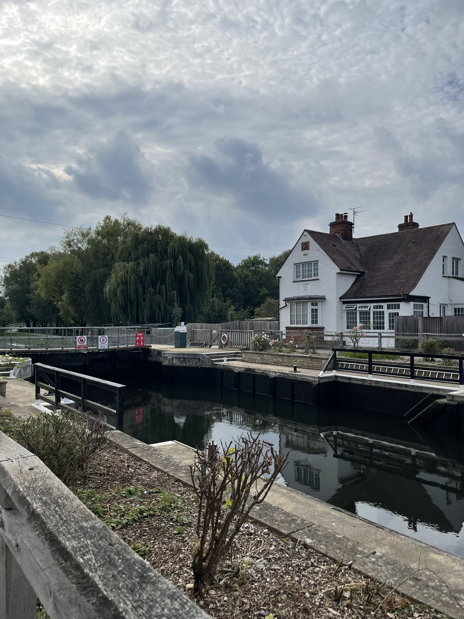
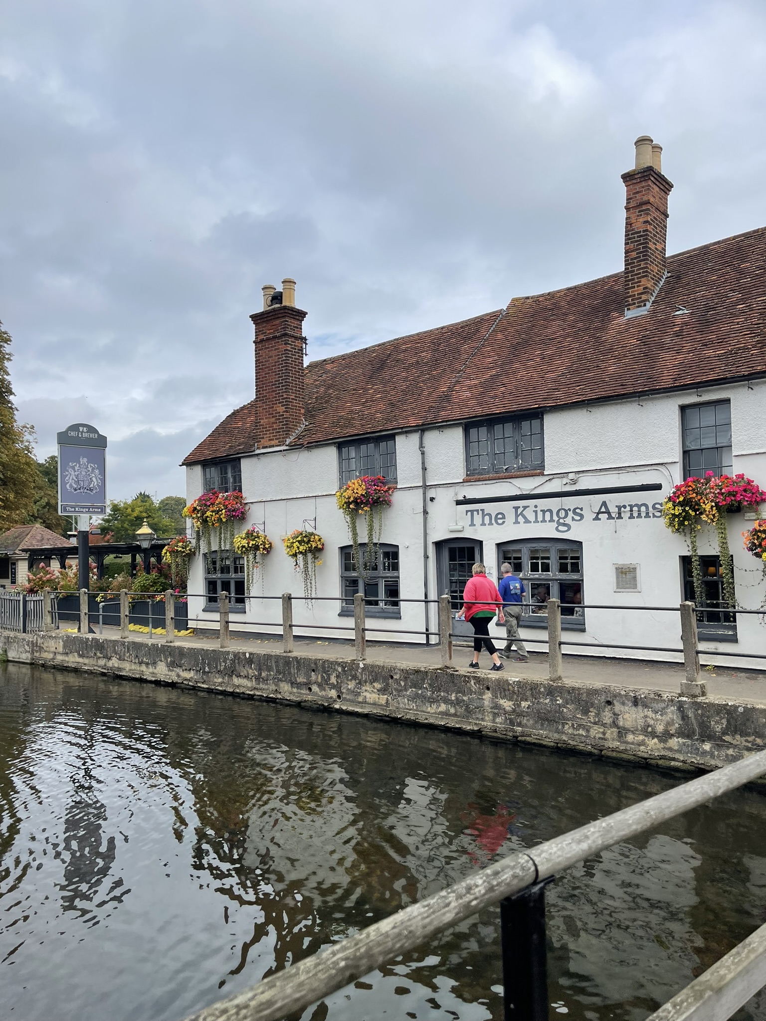
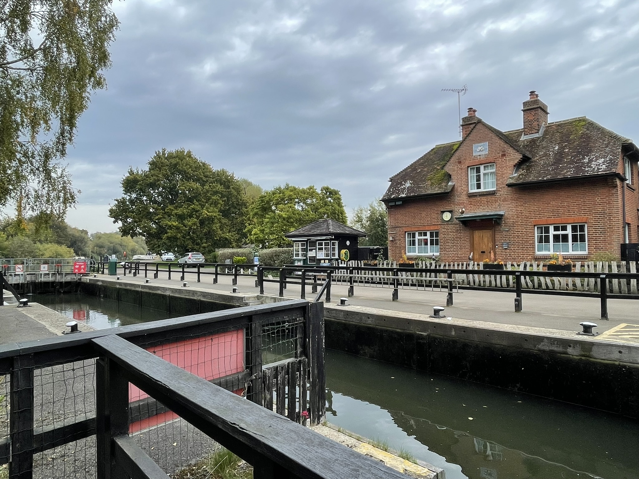
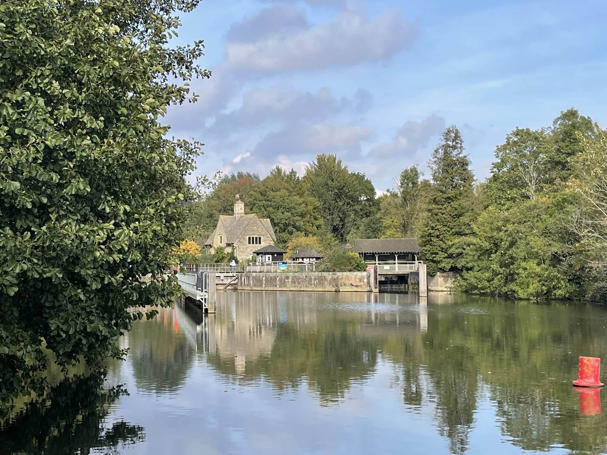
Continuing our journey, we reached Sandford Lock, a place with a rich history, first constructed in 1631, then rebuilt in 1836, and most recently in 1972. An iron bridge, added between 1866 and 1877, stands above the lock. We paused here for lunch at The Kings Arms, where I was greatly relieved to find my new phone cable worked, allowing me to finally charge my phone.
The weir, also known as the Sandford Lasher, has been notorious since the 19th century because of the number of individuals who have drowned there. Weirs generate powerful circulating currents that can hold a victim underwater at the base of the structure; hence their reputation as “drowning machines”. At the weir, a 19th-century obelisk records the deaths of five Christ Church students who drowned here.
“The pool under Sandford lasher, just behind the lock, is a very good place to drown yourself in. The undercurrent is terribly strong, and if you once get down into it, you are all right. An obelisk marks the spot where two men have already been drowned, while bathing there; and the steps of the obelisk are generally used as a diving-board by young men now who wish to see if the place really IS dangerous.”
– Jerome K. Jerome’s, Three Men in a Boat
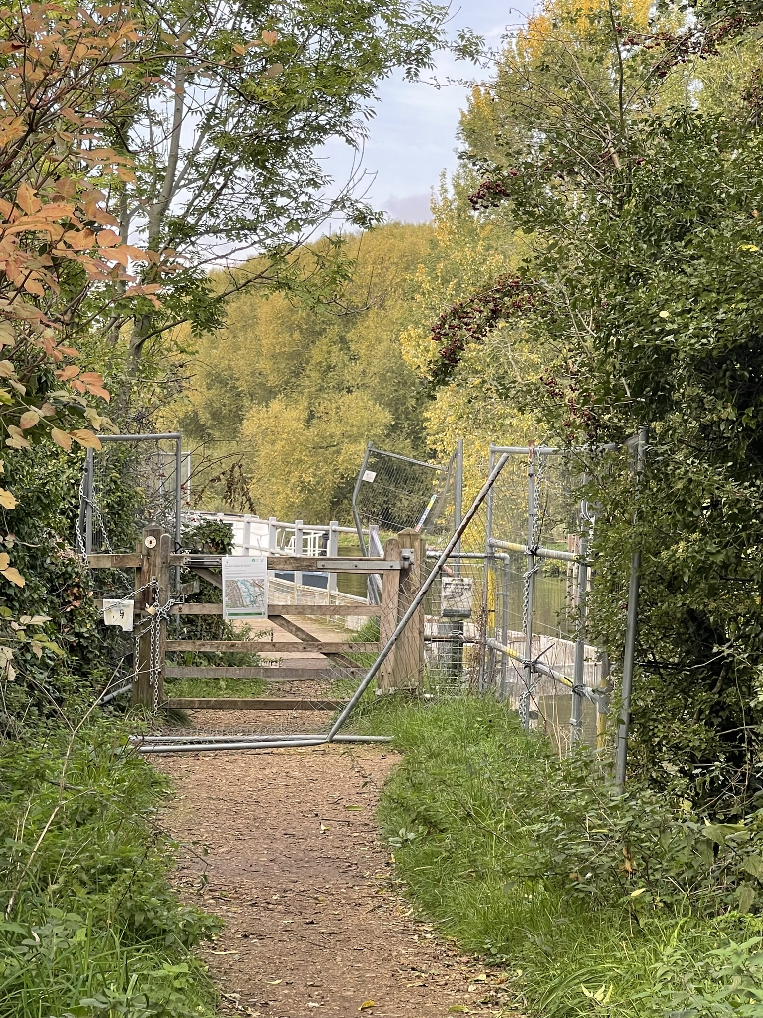
After lunch, our progress along the Thames path towards the weir was halted by a diversion. We returned to the lock and followed the alternative route, a cycle path that ran alongside the railway track. This path eventually reconnected with the Thames path at Kennington Railway Bridge. Built in 1923, this bridge replaced an earlier structure from 1863 and now carries the freight railway branch line to the BMW Mini factory in Cowley.
The journey continued past a footbridge and under the A423 road, leading to Iffley Lock. Originally constructed in 1631, the lock was rebuilt in 1793, with further enhancements and expansions in 1802 and 1806. The stone lock house was added in 1810. A directive issued in 1826 prohibited any craft from passing through the lock during the hours of divine service.
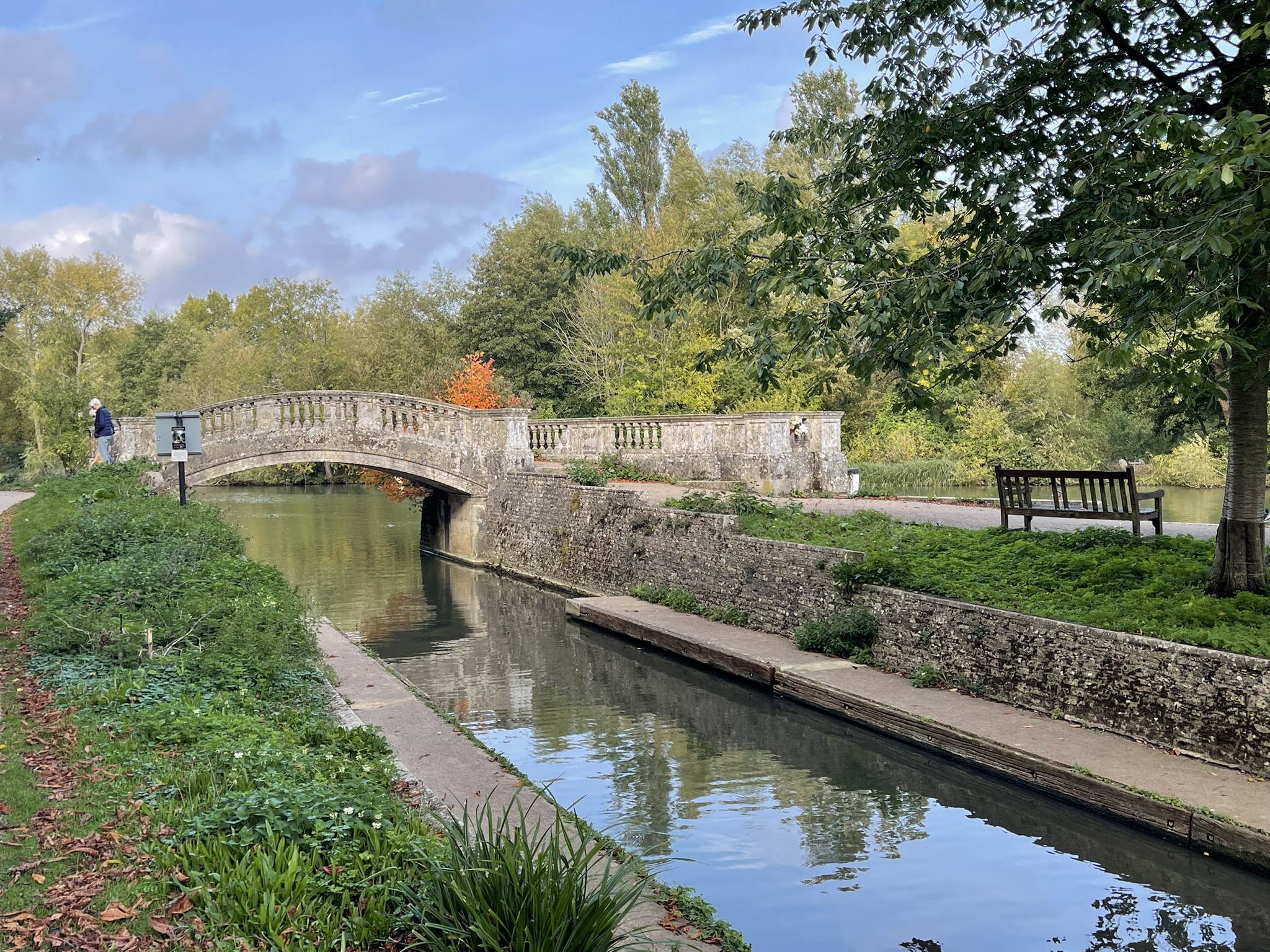
A small stone block bridge and landing stage were built to commemorate the 1924 rebuilding of the lock. This structure features a large bronze bull’s head and coat of arms, which serve as the ‘starting ring’ presented to the Oxford University Boat Club, as Iffley is the starting point for numerous organized rowing races.
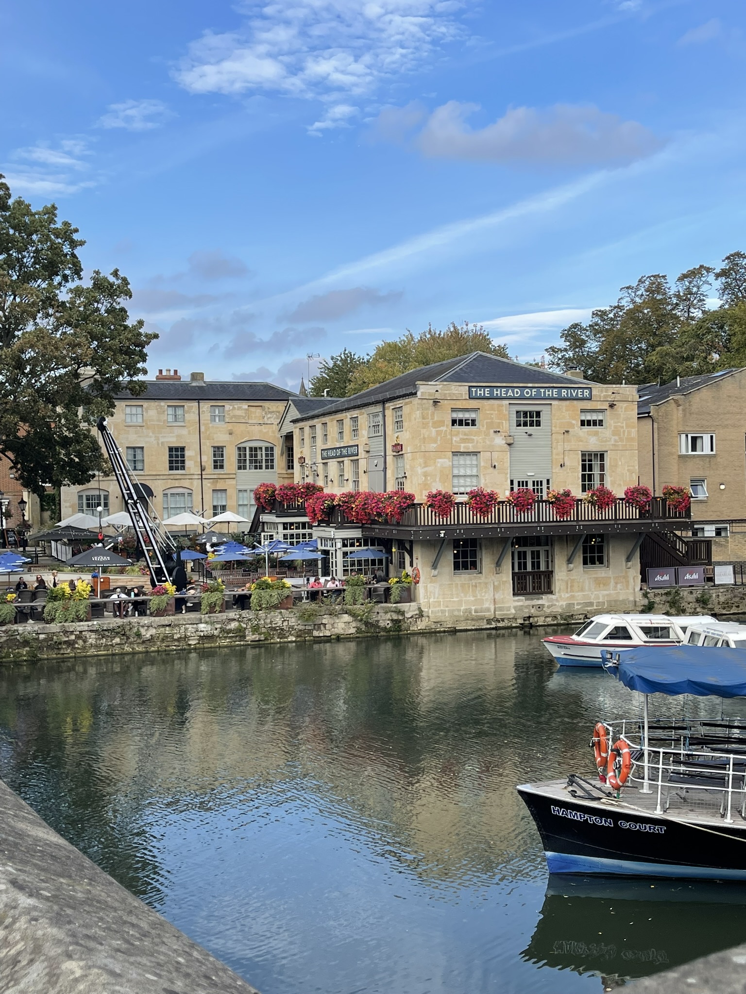
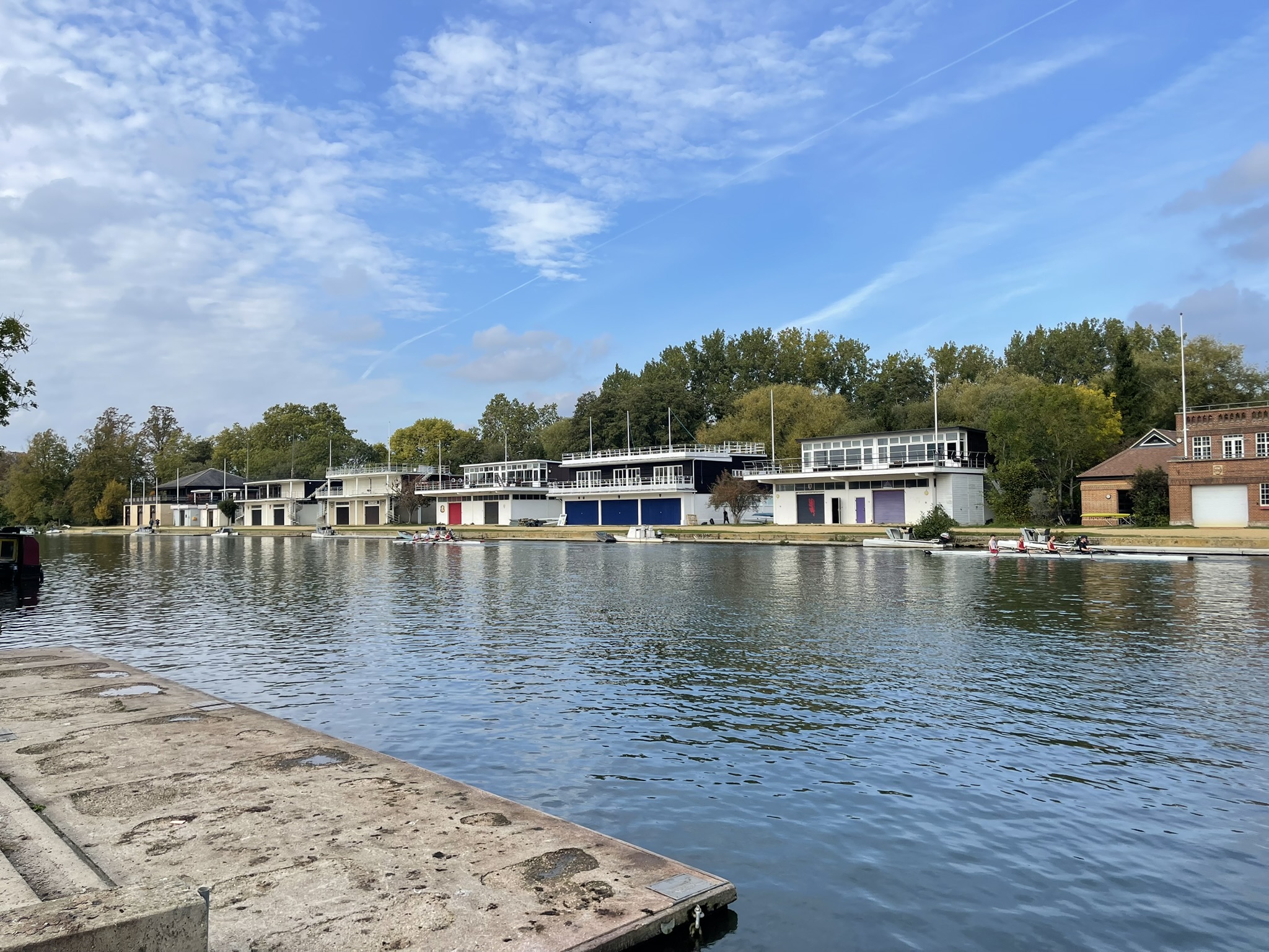
On the opposite bank, boathouses of Oxford University colleges lined the river, a sure sign of our approach to Oxford. Several rowers were out on the Thames, training that day. Passing Iffley Meadows and under Donnington Road Bridge, we quickly reached our final stop at Folly bridge for the day and, indeed, for the year.
Spotting the Head of the River pub across the bridge, I made a beeline for it to enjoy a celebratory pint. I also visited the Paper Boat café for another passport stamp, promising to return for coffee, but prioritizing that much-needed beer!
Taking a moment to reflect on the past few days of walking, I was delighted to hear from Therese, my fellow sewer from The Great British Sewing Bee. She invited me to her home in Oxford for a much-needed catch-up and a bite to eat. It was wonderful to see her, and it provided a perfect ending to a truly great long walk.