
Total Distance: 12.9 miles
Time: 5 hours 26 minutes
Points of Interest:
Cricklade
North Meadow
Cotswold Water Park
Ashton Keynes
All Saints Church
Kemble
Thames Head
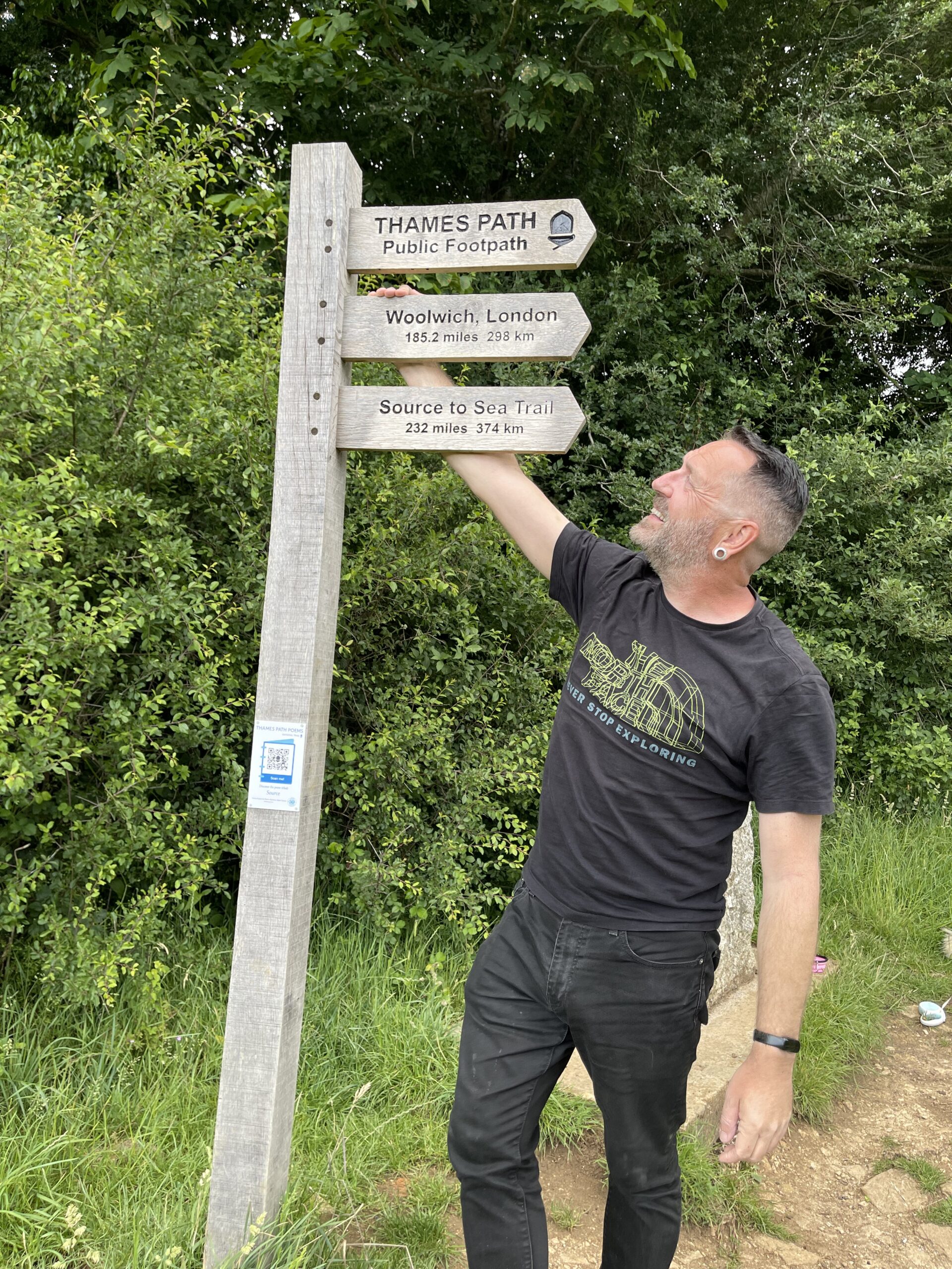
And so we came to the final stretch. From Cricklade, through the Cotswolds Water Park, past the last few villages where the river barely exists, and up into the Gloucestershire meadow where it doesn’t exist at all. The end of 185 miles. The beginning of everything.
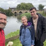
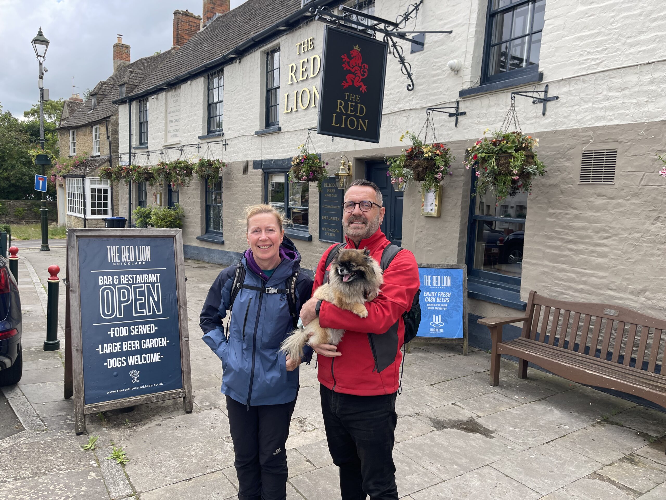
We set off from the Red Lion Inn at Cricklade, joined again by my sister, Louise. The historic Saxon market town sits at the uppermost navigable point of the Thames. Known as the “First Town on the Thames” it is the southern gateway to the Cotswolds, it features a traditional High Street, 112 listed buildings, and is famous for its natural beauty and heritage.
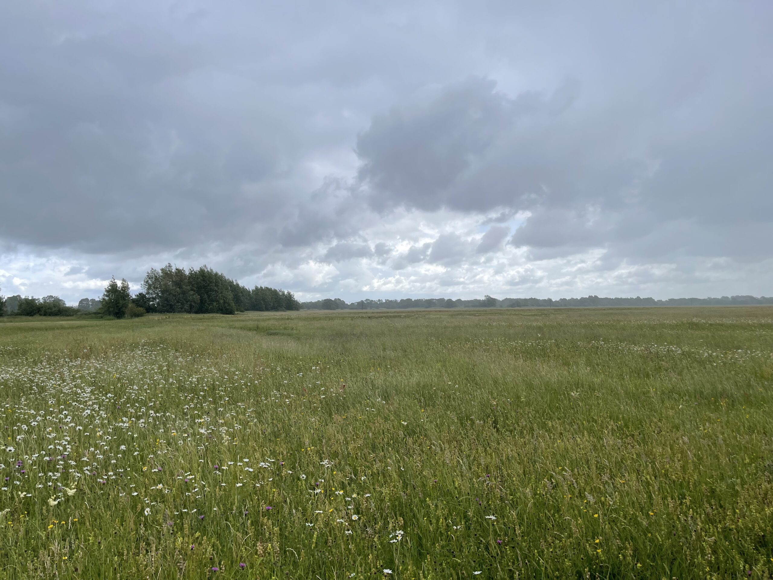
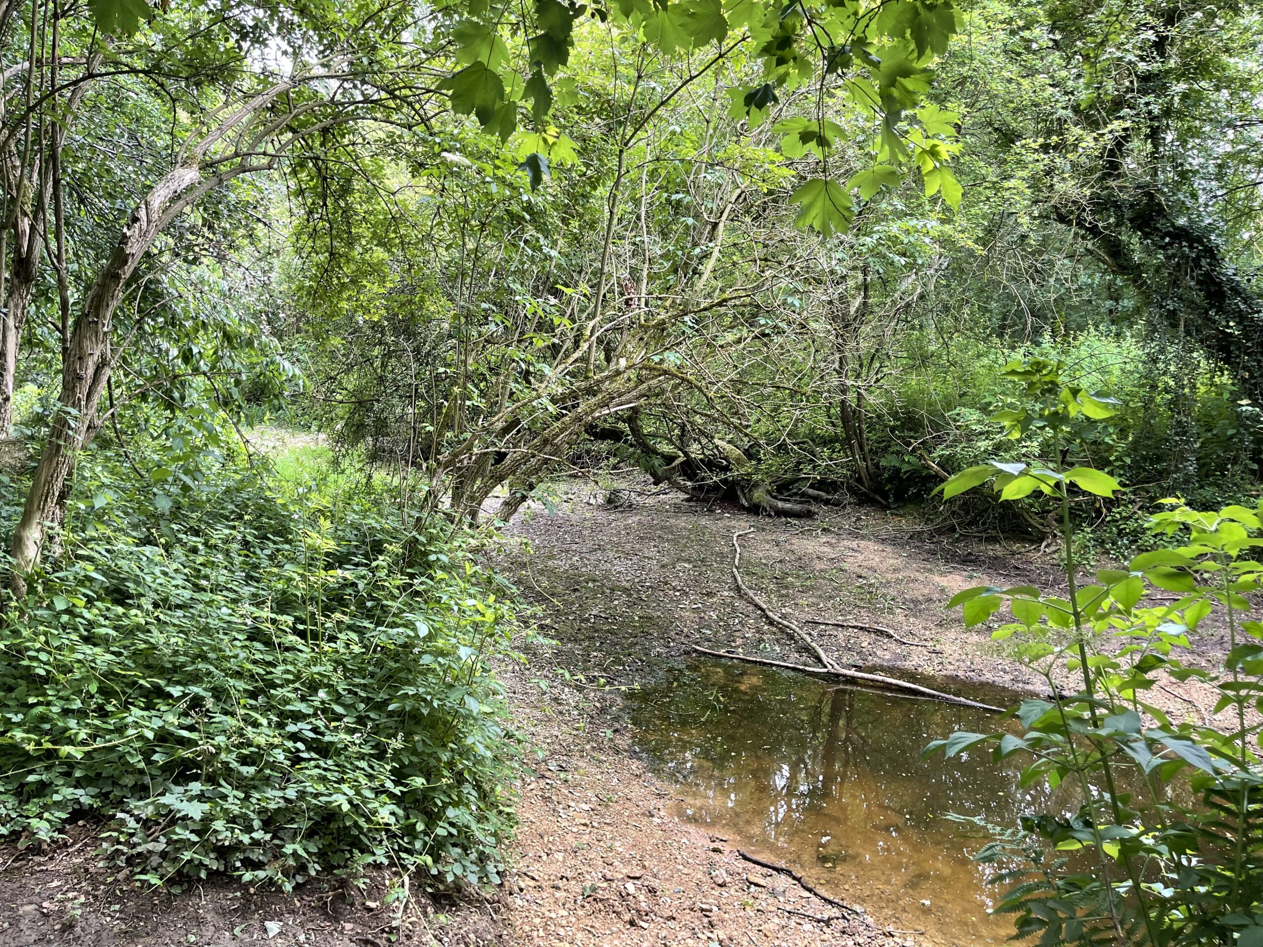
Almost immediately, the path leads into North Meadow. This is one of the finest surviving lowland hay meadows in Europe, a 44-hectare National Nature Reserve that holds around 80% of Britain’s wild snake’s head fritillaries – thousands of delicate flowers creating a purple haze on the meadow. The secret of its survival is medieval: the meadow is still managed as ancient lammas land, cut for hay in summer and grazed between August and February, under the supervision of Cricklade’s Court Leet – a form of local government that has been functioning here for centuries and still meets today. Winter flooding by the Thames and Churn, two rivers flanking the meadow on either side, that create the conditions the fritillaries need. It was the ancient Court Leet that made sure nothing ever changed. We were here in the wrong season for fritillaries, and in entirely the right season for deep puddles. The Great British weather had other ideas too: it opened up not long after North Meadow, with a huge downpour. We stepped through it stoically. It cleared eventually, as it always does.
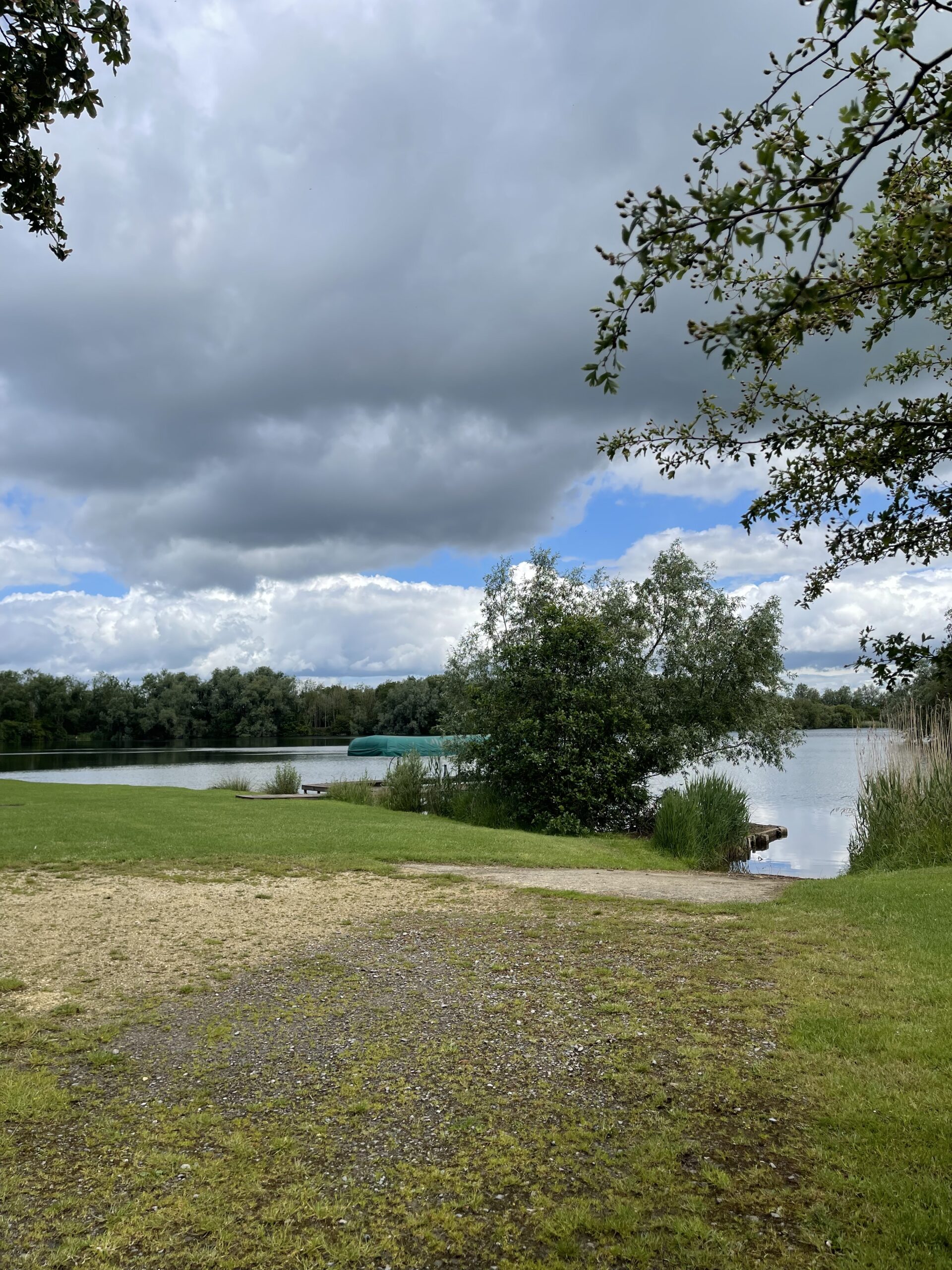
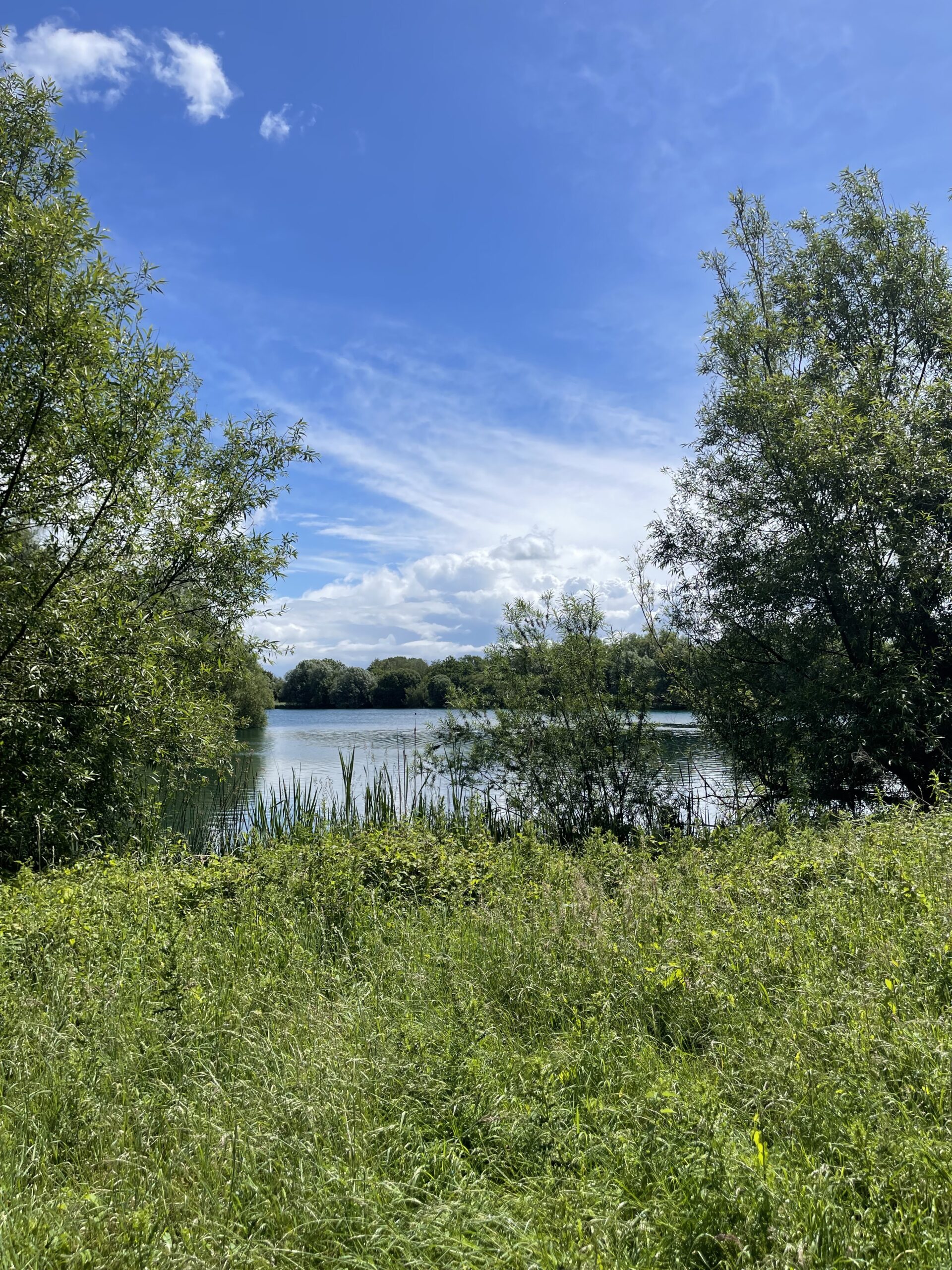
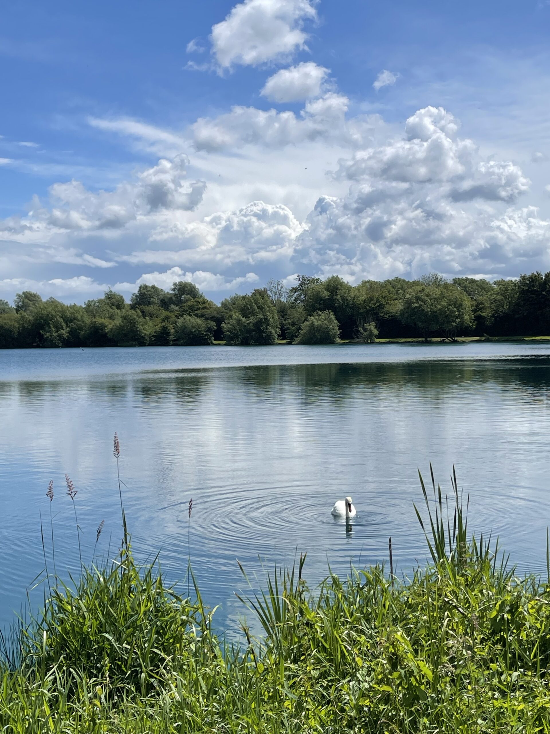
From North Meadow the path follows the line of an old railway – part of the disused Midland and South Western Junction Railway, which at one time linked Cheltenham with Andover. The path then opens out into the Cotswold Water Park – a landscape that manages to be both ancient and entirely manufactured. The gravel beneath this part of the upper Thames valley has been extracted on an industrial scale since the Second World War, and what was once farmland is now 180 lakes covering some 42 square miles, the largest inland water park in the country. In 1939, there were just 14 acres of water here; 15 million tons of gravel later, there are 150 acres of lakes. The Thames meanders between these broad still stretches of water while birds of prey drift overhead and the Cotswold stone villages sit quietly at the edges as if nothing much has changed.
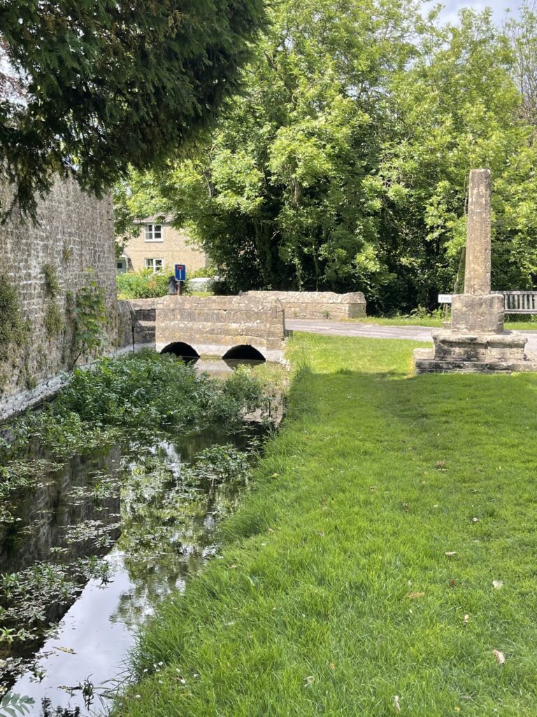
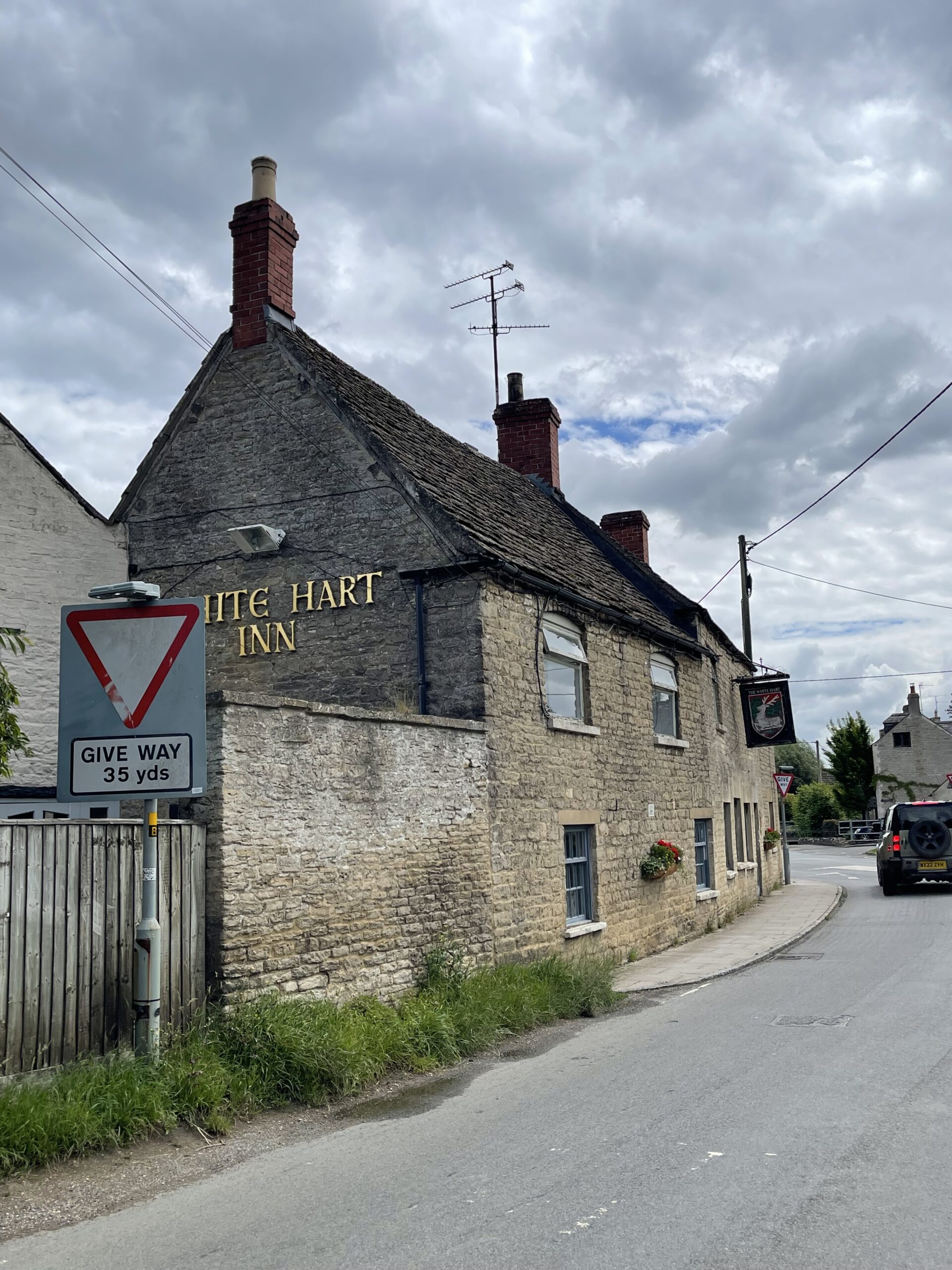
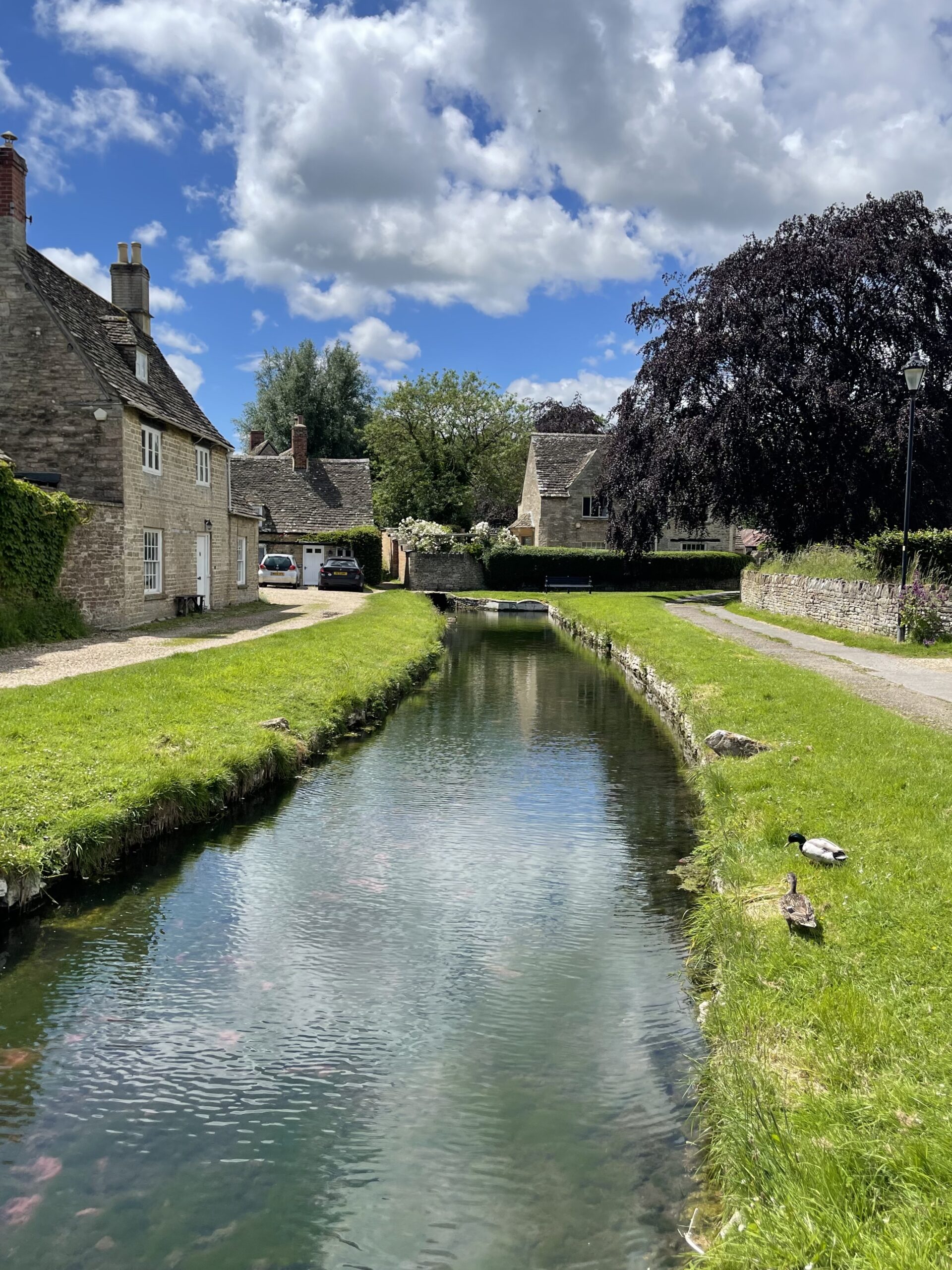
The first of those villages is Ashton Keynes. The Thames here divides into several channels, each threading its own way through the village before rejoining downstream – one writer described it as a rural miniature Venice, which is perhaps a stretch, but the small stone bridges (20 in total) crossing the streams to private front gardens are genuinely charming. The village has been here since at least the 7th century, appearing in the Domesday Book as Essitone in 1086; its name comes partly from the de Kaines family who arrived with William the Conqueror. The English writer William Cobbett, passed through the village in 1826 and described it as “a very curious place”. We stopped at the White Hart Inn for a cider and a packed lunch, and felt he had, if anything, undersold it.
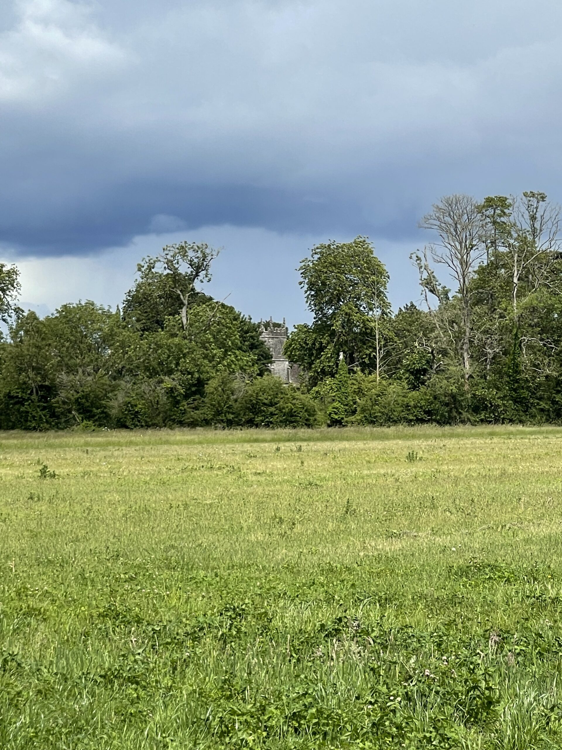
After our lunch break, we were back on the path and continued past more lakes and into Somerford Keynes, where we passed All Saints Church – or rather, caught a glimpse of it, half-hidden behind the trees. It deserves more than a glimpse. The church was established in 685 AD when land was granted to the Abbey at Malmesbury, and the first Christian converts were baptised in the River Thames nearby, with mass said first in the open air. By 695 AD a stone church had been built under a thatch roof, and the north doorway of that original Saxon building still stands today. It is one of the oldest stone churches in Gloucestershire, and the fact that it sits just a few miles from where the Thames begins – where those same Saxon monks baptised their first converts in its waters – gives it a particular resonance on this walk.
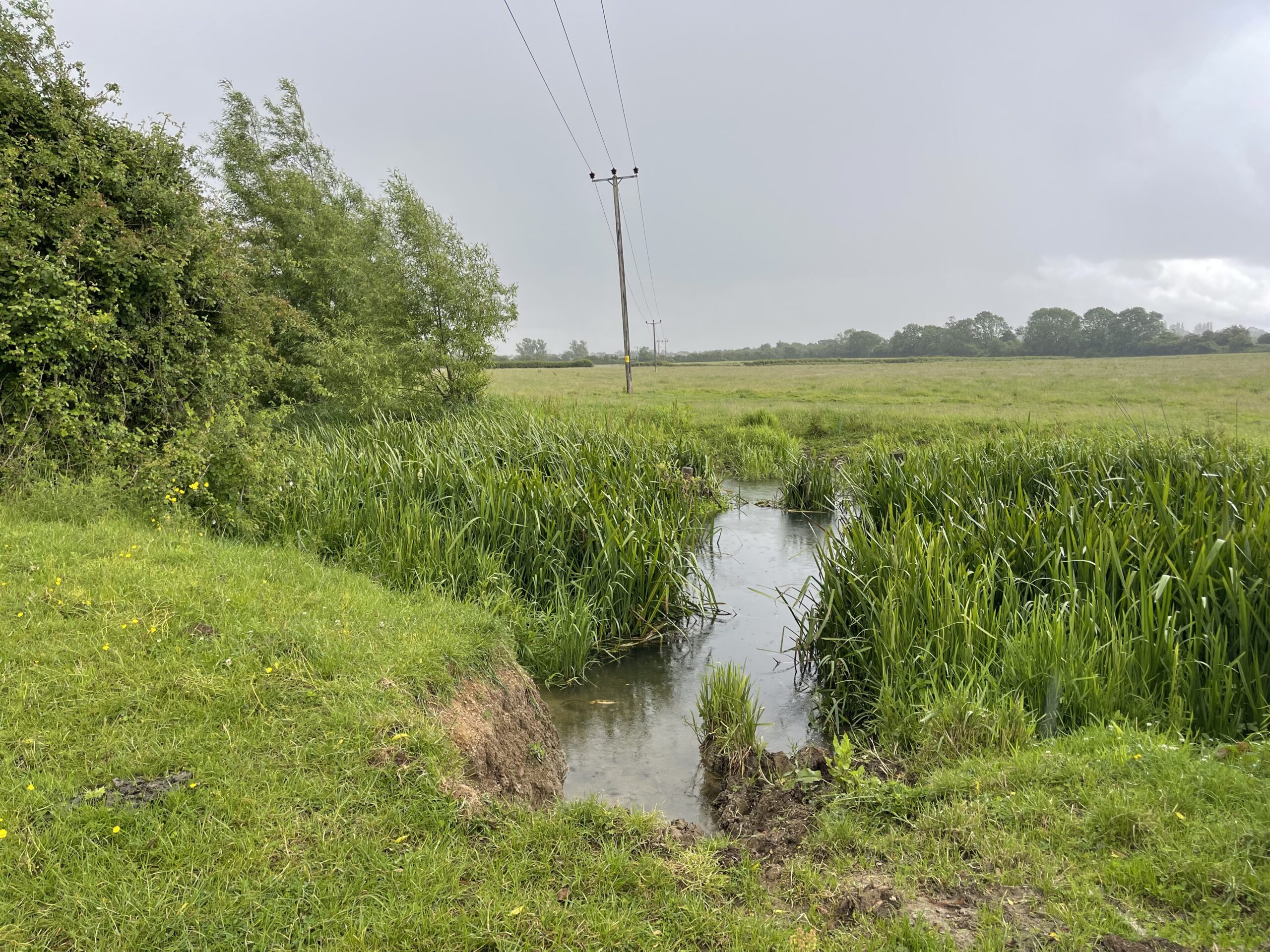
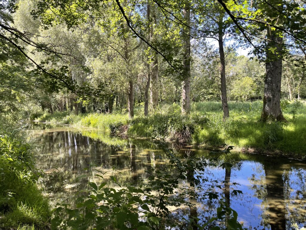
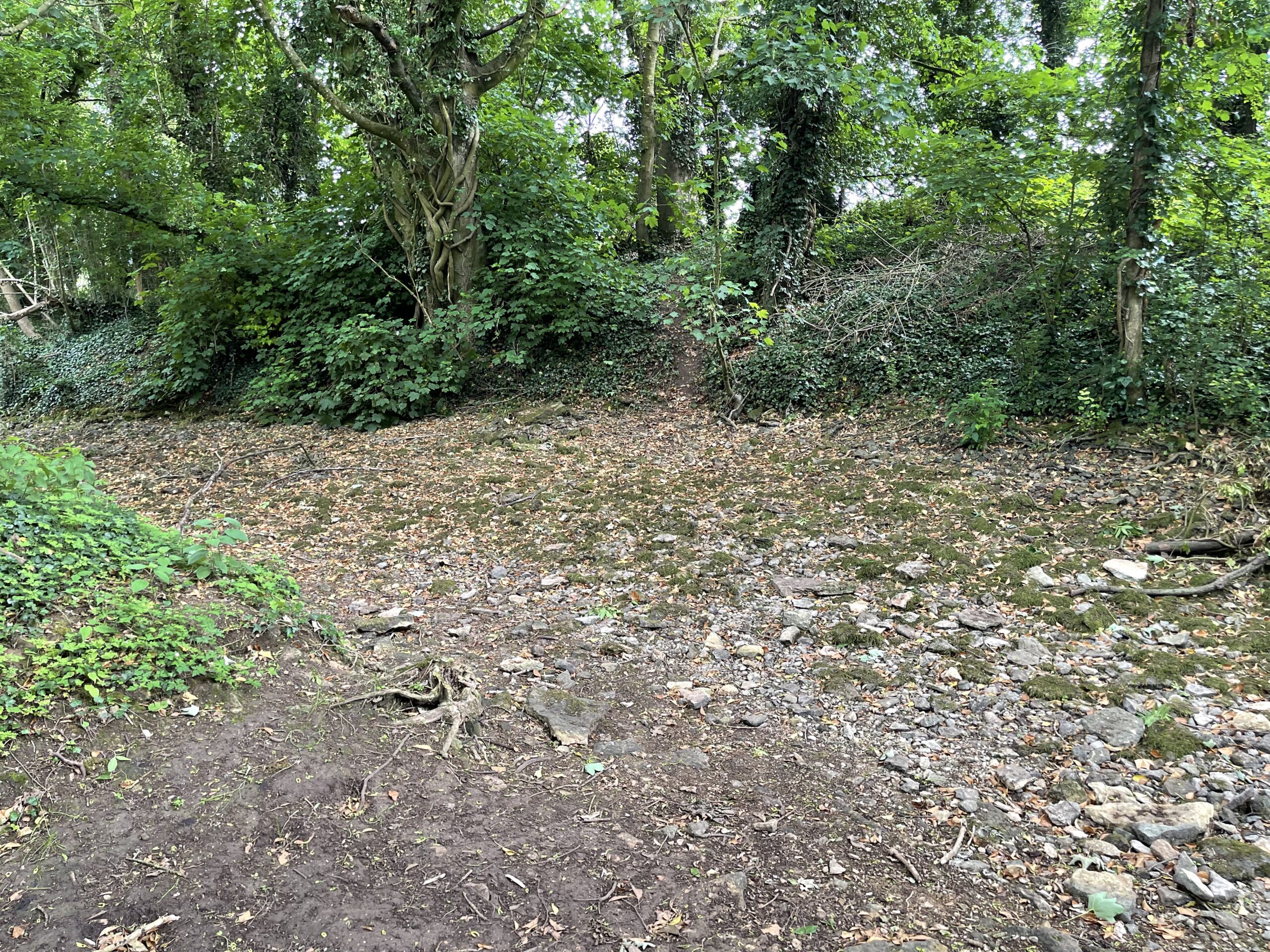
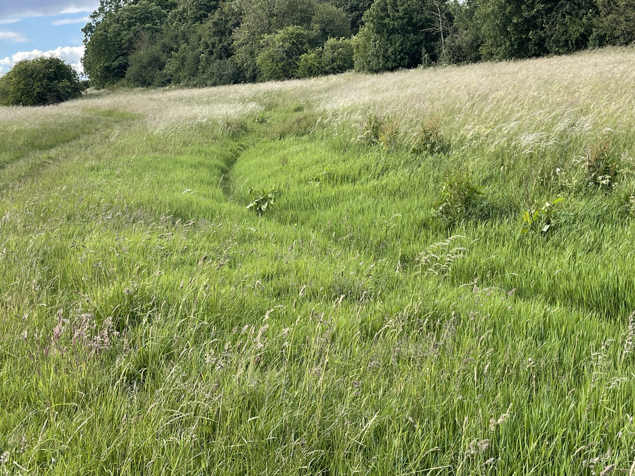
By Ewen, the river had changed character dramatically. The name Ewen itself derives from Aewilme, meaning spring or source, and you start to understand why: the Thames here is no more than a shallow trickle, narrow enough to step across, running between banks that seem to belong to a much grander river that will one day arrive. Past Ewen it diminished further still, and by the time we reached Kemble the riverbed had dried up entirely. There was simply nothing there. The path followed a grassy depression across fields where, in wetter months, there might be water and in very dry summers, there is none for several miles.
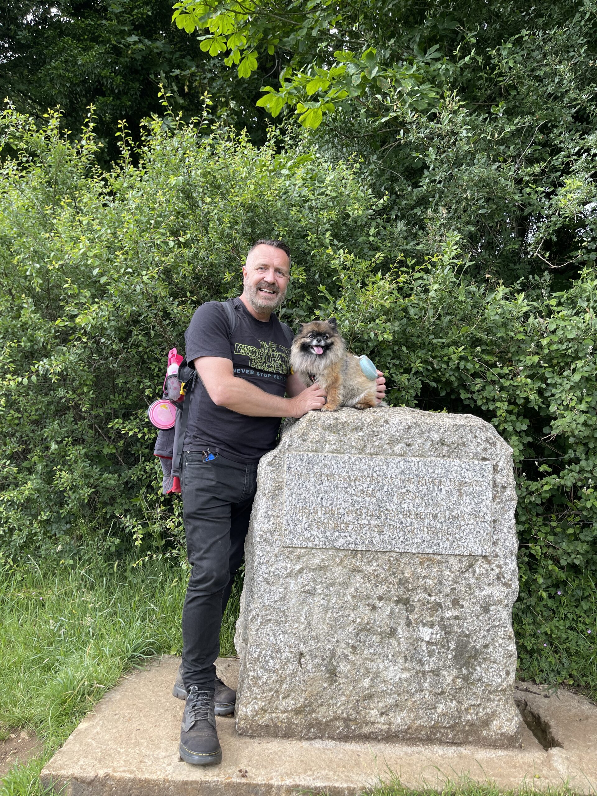
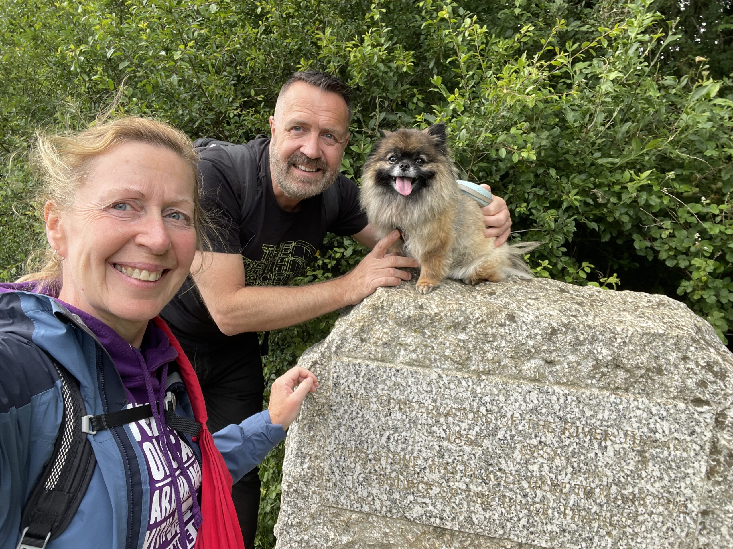
Then came the Fosse Way. Crossing it felt like a threshold: this long straight line of Roman road, cuts across the Cotswolds from Exeter in the south west to Lincoln in the north east. The road stretches 229 miles and was built in the 1st century AD. Just on the other side of it the path leads to a stone marker in a meadow beside an old ash tree. Trewsbury Mead. Thames Head. The official source of the river, 360 feet above sea level, at the top of 185 miles of path and the beginning of 215 miles of water.
We crossed the rather busy road and into the meadow, following the line of what would be the river, and there it was, the stone marker ahead of us. I ran towards it with Cher, my trusted companion of all these miles, oblivious really to what we had achieved. There was no water, just a stone lined spring head, but this is where it all comes from. Everything from here to the Thames Barrier: every lock, every weir, every bend at Kelmscott and Shifford and Newbridge; Lechlade and Oxford and Abingdon and Windsor; the Pool of London and the estuary and the sea. All of it starts here, in a damp hollow in a meadow, making no fuss whatsoever.